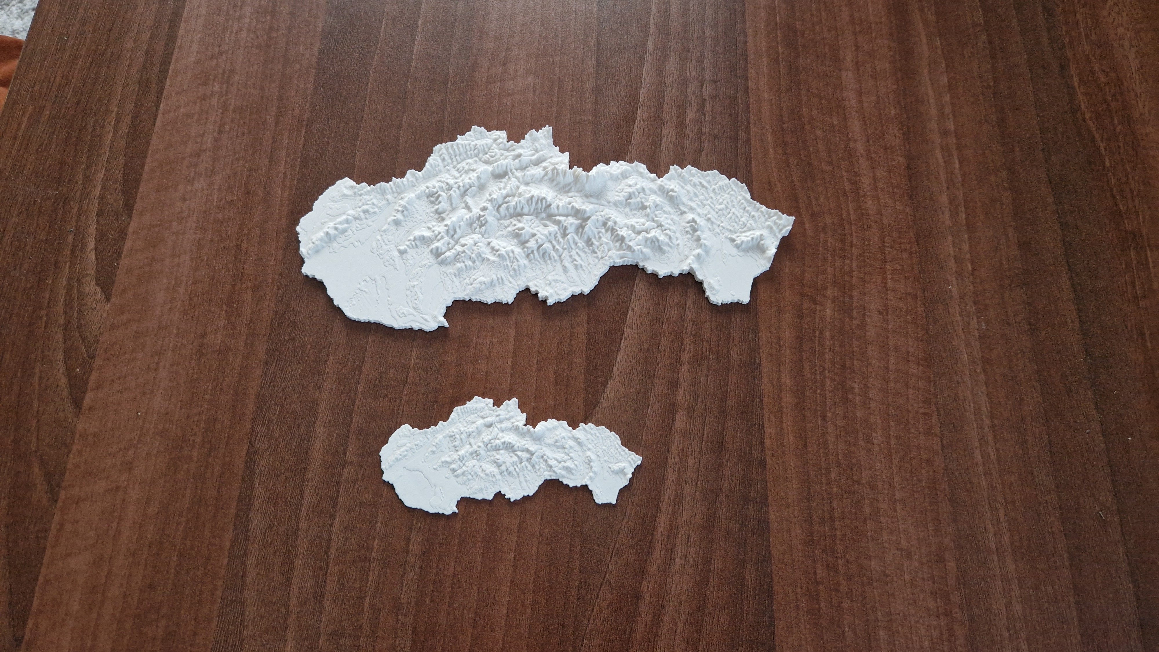
3d model of Slovakia generated by Touch terrain page: https://touchterrain.geol.iastate.edu/main
Kml geographic data were generated manually in Google Earth.
See attached files if you want to use them on your own.
The attached stl files are in various vertical scales.
I recommend you use stl with a vertical scale 10 to get a model with nice terrain differences.
Inspired by : https://www.zive.cz/clanky/vytiskli-jsme-barevnou-ceskou-republiku-ukazeme-vam-krok-za-krokem-jak-se-to-dela/sc-3-a-220682/default.aspx
Slovakia topographic 3D map
by Pavol Ziacek · original on Printables ↗
Learning / Other 3D Objects for Learning
♥ 48⬇ 533🖨 4 prints
Print profiles
Slovakia vertical scale 7.STLDEFAULT
⏱ time and weight estimated after preparation · 1 material(s)
Made to order: we prepare this file when you order, which adds a few minutes before printing starts.
Prints on: A1 mini 0.4PLA
Order this print
Slovakia vertical scale 3.STL
⏱ time and weight estimated after preparation · 1 material(s)
Made to order: we prepare this file when you order, which adds a few minutes before printing starts.
Prints on: A1 mini 0.4PLA
Order this print
Slovakia vertical scale 10.STL
⏱ time and weight estimated after preparation · 1 material(s)
Made to order: we prepare this file when you order, which adds a few minutes before printing starts.
Prints on: A1 mini 0.4PLA
Order this print
Slovakia vertical scale 1.STL
⏱ time and weight estimated after preparation · 1 material(s)
Made to order: we prepare this file when you order, which adds a few minutes before printing starts.
Prints on: A1 mini 0.4PLA
Order this print